
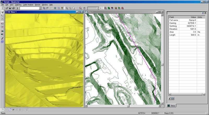
CESDb > Geotechnical Engineering > Terrain Tools 3D
Terrain Tools 3D screenshot
SOFTWARE :Terrain Tools 3D
DEVELOPER :Softree
VERSION :9.0
PLATFORM :Windows
FILE SIZE :139.95 MB
LICENSE :Trial
DOWNLOADS :UserDownloads:884
Program Description

Terrain Tools 3D is a software toolkit for mapping, terrain modelling and land development. Versatile and easy to use, it includes functions for surveying, coordinate geometry, image manipulation, digital terrain modeling, site grading, design, visualization and report generation.

Terrain Tools is used everyday by 1000’s of civil engineers, surveyors, architects, geoscientists and planners. Applications include commercial and residential site development, landfills, dams, mines and pipelines.

* Terrain Tools 3D download link provides trial version of the software.
Similar Software
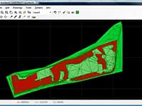
FastTerrain Version:3.0 · Diolkos3D
FastTerrain

Create, Edit and Visualize in 3d Space Digital Terrain Models

In FastTerrain you are able to create, edit and visualize in 3D space digital terrain models.
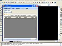
AEC Terrain Version:1.0 · AEC Logic
AEC Terrain

Create Digital Elevation Model from AutoCAD

AEC Terrain is designed to simplify terrain management and 3D-modeling.
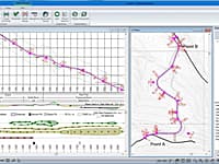
Softree Optimal Version:9.0 · Softree
Softree Optimal

Earthwork Optimization for Corridor Projects

Standalone road and corridor optimization tool. Works with designs created in other design software.
RoadEng Version:9.0 · Softree
RoadEng

Road Design Package

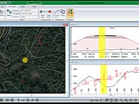
RoadEng is a site and road design software package. It works either as an add-on to other civil design software or as a standalone system. It includes functions for data collection, terrain modelling, contouring, volumes, profiles, sections, and road design.
DigiCad 3D Version:10.0 · Interstudio
DigiCad 3D

Architectural Surveys, Mapping and Photogrammetry.

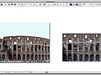
DigiCad 3D is an excellent tool for dealing with images, drawings, photographs of building, regular or irregular surfaces and maps.

Comments & Reviews

No comments yet. Be the first to comment.

Submit a review about Terrain Tools 3D software with your social media profile

avatar
Rate This Software

Terrain Tools 3D has been rated 4.0 out of 5 points. A total of 1 votes cast and no one has reviewed the software yet.

Popular Programs

16818 hitsPOLEFDN 2.3

POLEFDN is a spreadsheet program written in MS-Excel for the purpose of analysis of a pole foundation assuming the use of a rigid round pier which is assumed free at the top and subjected to lateral and vertical loads.

9667 hitsSlide 9.0

Slide is the most comprehensive slope stability analysis software available, complete with finite element groundwater seepage analysis, rapid drawdown, sensitivity and probabilistic analysis and support design.

9565 hitsAllPile 7.19

AllPile is a Windows-based analysis program that handles virtually all types of piles, including steel pipes, H-piles, pre-cast concrete piles, auger-cast piles, drilled shafts, timber piles, jetted piles, tapered piles, piers with bell, micropiles (minipiles), uplift anchors, uplift plate, and shallow foundations.

9538 hitsDips 8.0

Dips is designed for the interactive analysis of orientation based geological data.

New & Updated

2 OctFOUNDA MATE 2.1

FOUNDA MATE is a powerful and very quick tool for automatically design and draw reinforcement details of foundation slabs in a developed, simple and easy graphical interface in according to building model design results of SAFE software.

28 JunPileCalc 1.0

PileCalc is a modern, browser-native suite for the analysis of deep foundations — laterally loaded piles, axial capacity, pile groups, drilled shafts, shallow footings, uplift anchors, and the structural section behavior that ties them together.

21 MayRaft Foundation Analysis 2.1.0

GEMSai Raft Foundation Analysis is an advanced intuitive finite element modelling software for raft foundations by GEMSai.

11 MarRischio 2026

Rischio is a cloud-based platform for geotechnical analysis and design. Model foundations, retaining walls, and slopes within minutes from any device with an internet connection.