
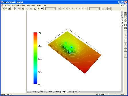
AquiferWin32 is a professional Windows-based software program used by hydrogeologists and environmental engineers to analyze, display, and model groundwater and aquifer test results. Developed by Environmental Simulations, Inc. (ESI), it is widely used to calculate critical hydraulic parameters—like transmissivity (how easily water flows through the aquifer) and storativity (how much water the aquifer releases)—which are essential for larger groundwater modeling projects.
Key Capabilities
- Pumping & Slug Test Analysis: Supports a wide variety of analytical solutions (such as Theis, Cooper-Jacob, Neuman, and Hvorslev) to analyze aquifer drawdown and recovery from pumping, slug, and step-drawdown tests.
- Analytical Flow Modeling: The software includes features (like WinFlow/WinTran and Split) that extend standard test analysis into 2D steady-state and transient groundwater flow modeling. This allows users to simulate the impact of multiple wells, calculate particle tracking, and map contaminant transport.
- Visualization & Reporting: Generates report-ready graphics, including drawdown-versus-time graphs, color contour maps of hydraulic head, and vector flow fields, which can easily be exported to CAD, GIS, or mapping programs like Surfer.
* AquiferWin32 download link provides trial version of the software.
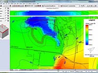
Groundwater Vistas is a state of the art software package for 3D groundwater flow and contaminant transport modeling, calibration and optimization using the MODFLOW suite of codes.
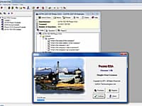
Pocket ESA has been designed to minimize the amount of time required to generate standard Environmental Site Assessment reports and to maximize the flexibility of the final report.
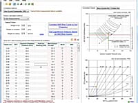
NovoBPT is designed for correcting raw BPT blow counts (Nb) and converting them to SPT blow counts (N60).
Standard Penetration Test Correlations
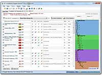
NovoSPT is a unique geotechnical software designed for correlating SPT blow counts (N) to various soil properties using 300 correlations.
Cone Penetration Test Interpretation
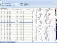
NovoCPT is designed for processing CPT files and calculating soil parameters such as friction angle, relative density, unit weight, fines content, shear wave velocity, Gmax, clay sensitivity, OCR, undrained shear strength, soil behavior type (SBT).
Submit a review about AquiferWin32 software with your social media profile
No comments yet. Be the first to comment.