GMS (Groundwater Modeling System) is water modeling application for building and simulating groundwater models from Aquaveo. It features 2D and 3D geostatistics, stratigraphic modeling and a unique conceptual model approach. Currently supported models include MODFLOW, MODPATH, MT3DMS, RT3D, FEMWATER, SEEP2D, and UTEXAS.
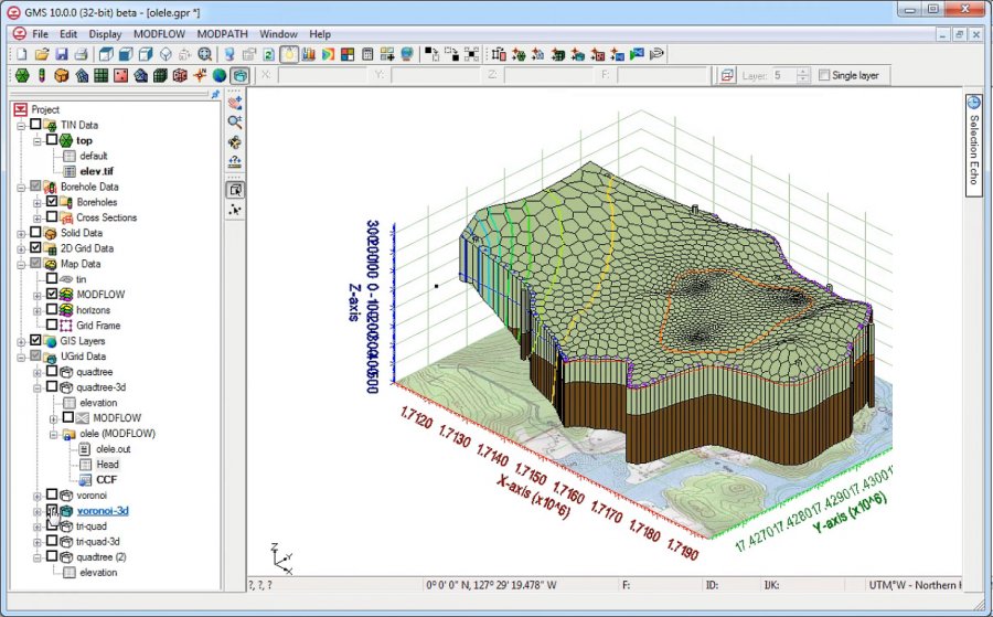
GMS is the most advanced software system available for performing groundwater simulations in a three-dimensional environment.
- Interact with models in true 3D
- Optimized OpenGL graphics for improved hardware rendering
- Create photo-realistic renderings
- Generate animations for PowerPoint or web presentations
- Drape images over the model and control the opacity
- Annotations – Add north arrows, scale bars, reference images, company logos, and more
Models require data from many different sources. That’s why GMS is built to easily import numerous file types:
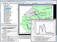
- Raster images including georeference and projection support
- Topographical maps & elevation data
- Borehole data including stratigraphy and geophysical data
- Native MODFLOW files
- MODFLOW files from Visual MODFLOW, Groundwater Vistas and PM Win
- Web data services such as TerraServer
- ArcGIS geodatabases and shapefiles
- CAD files including .dwg, .dgn, and .dxf formats
- Worldwide projection support including Cartesian and Geographic Systems
- File Import wizard for delimited text files and spreadsheets
From cross-section editing to advanced probability statistics, GMS offers unparalleled subsurface modeling tools.
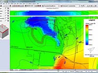
- Generate iso-surfaces from 3D data to visualize plumes
- Cut cross-sections anywhere through 3D data
- 2D & 3D geostatistics – Kriging, IDW and Natural Neighbor
- Robust and fast algorithms to create solids from horizons
* GMS download link provides trial version of the software.
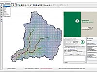
The All-in-one Watershed Modeling System
Aquaveo WMS (Watershed Modeling System) is a watershed computer simulation and modeling software application from Aquaveo. WMS is a all-in-one hydrologic and hydraulic solutions and pipe network tools.
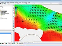
SMS (Surface-water Modeling System) is a complete program for building and simulating surface water models from Aquaveo.
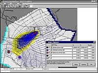
Processing Modflow (PMWIN) is a comprehensive integrated groundwater modeling system that is used by many organizations, such as research institutions, consulting firms, agencies, and entities of the United Nations.
Groundwater Vistas is a state of the art software package for 3D groundwater flow and contaminant transport modeling, calibration and optimization using the MODFLOW suite of codes.
The Hydrologic Modeling System (HEC-HMS) is designed to simulate the complete hydrologic processes of dendritic watershed systems.
Submit a review about GMS software with your social media profile
No comments yet. Be the first to comment.