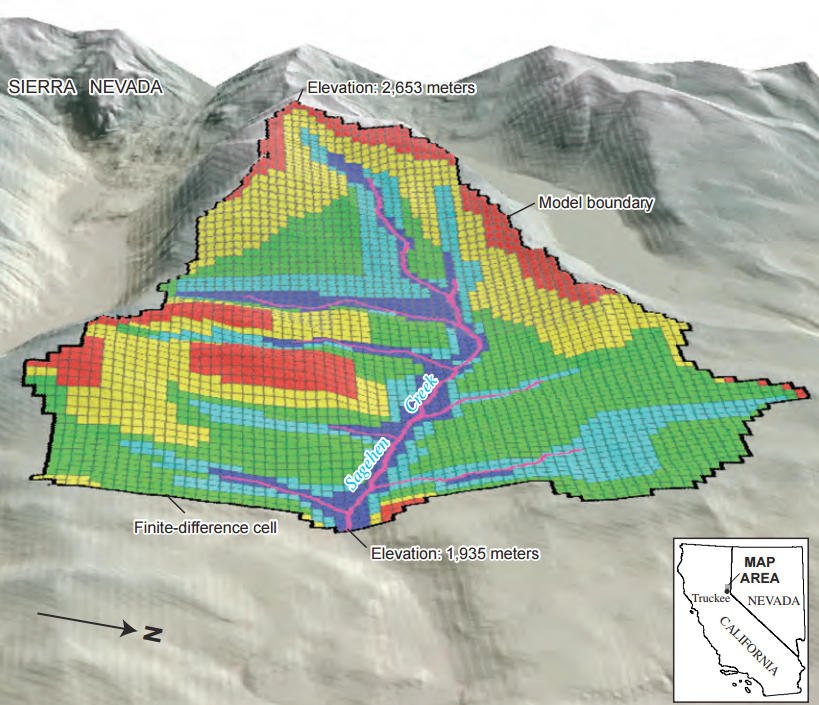
GSFLOW is a coupled Groundwater and Surface-water FLOW model based on the integration of the USGS Precipitation-Runoff Modeling System (PRMS-V) and the USGS Modular Groundwater Flow Model (MODFLOW-2005 and MODFLOW-NWT). GSFLOW was developed to simulate coupled groundwater/surface-water flow in one or more watersheds by simultaneously simulating flow across the land surface, within subsurface saturated and unsaturated materials, and within streams and lakes. Climate data consisting of measured or estimated precipitation, air temperature, and solar radiation, as well as groundwater stresses (such as withdrawals) and boundary conditions are the driving factors for a GSFLOW simulation.
GSFLOW operates on a daily time step. In addition to the MODFLOW variable-length stress period used to specify changes in stress or boundary conditions, GSFLOW uses internal daily stress periods for adding recharge to the water table and calculating flows to streams and lakes. Specified stream inflow over boundaries, internal stream-diversion flow rates, and groundwater-pumping flow rates can be specified using time-series input files that allow these stresses to vary during each time step.
GSFLOW can be used to evaluate the effects of such factors as land-use change, climate variability, and groundwater withdrawals on surface and subsurface flow for watersheds that range from a few square kilometers to several thousand square kilometers, and for time periods that range from months to several decades.
* GSFLOW download link provides freeware version of the software for Windows and Linux.
Model for Saturated-Unsaturated, Variable-Density Ground-Water Flow with Solute or Energy Transport
A model for 2D or 3D saturated-unsaturated, variable-density ground-water flow with solute or energy transport.

Heat and Solute Transport in 3D Ground-Water Flow Systems
The computer program (HST3D) described in this report simulates heat and solute transport in three-dimensional saturated ground-water flow systems.
SMS (Surface-water Modeling System) is a complete program for building and simulating surface water models from Aquaveo.
Visualization of Field Measurement Data and Groundwater Model Results
Seer3D is an application for the visualization of field measurement data and the groundwater model results. It includes powerful tools for displaying vector and raster maps, presenting wells, boreholes, lithological, and geophysical data.
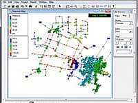
Model Water Distribution Piping Systems
EPANET is software that models water distribution piping systems. EPANET is public domain software that may be freely copied and distributed.
Submit a review about GSFLOW software with your social media profile
No comments yet. Be the first to comment.