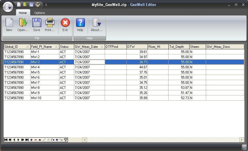
The GeoWell Editor is a stand-alone editor that simplifies the production of GEO_WELL data files for submission to California’s GeoTracker system. GeoWell Editor handles the tedious aspects of formatting data files and of providing data entry validation. It does this by providing data entry validation and eliminating the need for you to manually export data to the specific format required by the GeoTracker system.
GeoWell Editor provides geologists, engineers, and other environmental and geotechnical users the ability to easily create and edit GeoTracker GeoWell data files. GeoWell Editor is free to use.
* GeoWell Editor download link provides freeware version of the software.
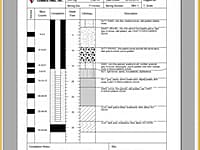
Soil boring logs and well construction diagrams
Well Logger software lets you create soil boring logs and well construction diagrams.
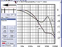
Converts printed data to numerical data
Software to digitize data from graphs for Engineering design calculations and analysis.
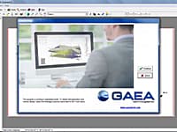
Geoscientific Analyses, Mapping, Data Display and Data Management
GaeaSynergy is an application suite for geoscientific analyses, mapping, data display and data management. The program can be used to evaluate contaminants, soil and rock properties, mineral deposits, and oil and gas deposits.
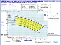
Advanced Pump Selection and Catalog Production
PumpBase is a sophisticated software application that finds the best pumps for your liquid conveyance design whether its a water distribution system or a chemical delivery system.
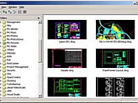
A lite and fast dwg viewer, browse, view, measure, print DWG, DXF, DWF files. Supports AutoCAD drawing format from R2. 5 to the latest version 2013.
Submit a review about GeoWell Editor software with your social media profile
No comments yet. Be the first to comment.