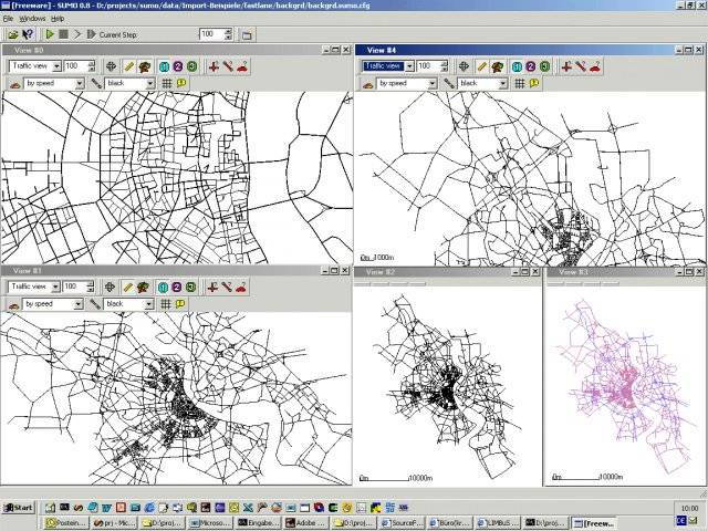
Simulation of Urban MObility, or "SUMO" for short, is an open source, microscopic, multi-modal traffic simulation. It allows to simulate how a given traffic demand which consists of single vehicles moves through a given road network. The simulation allows to address a large set of traffic management topics. It is purely microscopic: each vehicle is modelled explicitly, has an own route, and moves individually through the network.
The simulation platform SUMO offers many features:
- Microscopic simulation - vehicles, pedestrians and public transport are modeled explicitly
- Online interaction – control the simulation with TraCI
- Simulation of multimodal traffic, e. g. , vehicles, public transport and pedestrians
- Time schedules of traffic lights can be imported or generated automatically by SUMO
- No artificial limitations in network size and number of simulated vehicles
- Supported import formats: OpenStreetMap, VISUM, VISSIM, NavTeq
- SUMO is implemented in C++ and uses only portable libraries
SUMO has been used within several projects for answering a large variety of research questions:
- Evaluate the performance of traffic lights, including the evaluation of modern algorithms up to the evaluation of weekly timing plans.
- Vehicle route choice has been investigated, including the development of new methods, the evaluation of eco-aware routing based on pollutant emission, and investigations on network-wide influences of autonomous route choice.
- SUMO was used to provide traffic forecasts for authorities of the City of Cologne during the Pope’s visit in 2005 and during the Soccer World Cup 2006.
- SUMO was used to support simulated in-vehicle telephony behavior for evaluating the performance of GSM-based traffic surveillance.
- SUMO is widely used by the V2X community for both, providing realistic vehicle traces, and for evaluating applications in an on-line loop with a network simulator.
* SUMO download link provides gnu general public license version of the software.
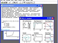
Simulation and scientific visualisation
Ground-breaking software for simulation and scientific visualisation. Through innovative use of interactive graphics, Sysquake reveals insights into complex mathematical systems.
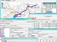
The Reservoir System Simulation (HEC-ResSim) software is used to model reservoir operations at one or more reservoirs for a variety of operational goals and constraints.
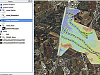
Connect Water Simulation Programs to a Powerful GIS Interface
Giswater connects water simulation programs to a powerful GIS interface, and lays the foundation for full management of water supply systems, sewerage systems, drainage networks and rivers.
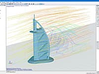
Stand-alone program for numerical simulations of wind flows in the digital wind tunnel as well as for exporting the generated wind loads to RFEM and RSTAB.
Analysis Precast Girder Splice Alternatives
PGSplice is our spliced girder analysis software. This software has been developed for the Alternate Route Project.
Submit a review about SUMO software with your social media profile
No comments yet. Be the first to comment.