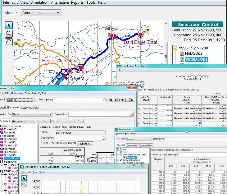
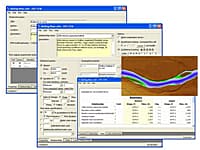
The Reservoir System Simulation (HEC-ResSim) software developed by the U.S. Army Corps of Engineers, Institute for Water Resources, Hydrologic Engineering Center is used to model reservoir operations at one or more reservoirs for a variety of operational goals and constraints.
The software simulates reservoir operations for flood management, low flow augmentation and water supply for planning studies, detailed reservoir regulation plan investigations, and real-time decision support. HEC-ResSim can represent both large and small scale reservoirs and reservoir systems through a network of elements (junctions, routing reaches, diversion, reservoirs) that the user builds. The software can simulate single events or a full period-or-record using available time-steps. HEC-ResSim is a decision support tool that meets the needs of modelers performing reservoir project studies as well as meeting the needs of reservoir regulators during real-time events.
* HEC-ResSim download link provides gnu general public license version of the software.
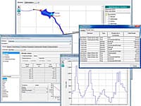
HEC-ResPRM is a reservoir system operations optimization software package developed to assist planners, operators, and managers with reservoir operation planning and decision-making.
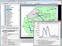
The Hydrologic Modeling System (HEC-HMS) is designed to simulate the complete hydrologic processes of dendritic watershed systems.
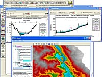
HEC-RAS is designed to perform one-dimensional hydraulic calculations for a full network of natural and constructed channels.
Statistical Analyses Of Hydrologic Data
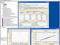
Statistical Software Package (HEC-SSP) developed by the Hydrologic Engineering Center. This software allows you to perform statistical analyses of hydrologic data.
The Ecosystem Functions Model (HEC-EFM) is designed to help study teams determine ecosystem responses to changes in the flow regime of a river or connected wetland.
Submit a review about HEC-ResSim software with your social media profile