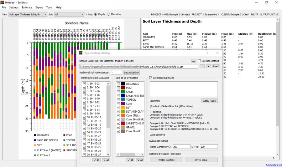
SoilStats provides an intuitive way to analyze gINT geotechnical borehole logs. It automates data summarization and significantly reduces geotechnical report preparation time.
Thanks to the flexible data map mechanism, SoilStats is able to analyze different gINT files generated with different templates. It presents soil data and statistics with both texts and graphs.
Main features:
- Soil layer regrouping
- Data map file setting to accommodate files generated with different template
- Multiple-files (with different data map files) analysis
- MDB and XLSX files reading
- 3D borehole visualization
- Water / moisture content analysis
- SPT N value analysis
- SPT N value estimate based on depth range
- Pocket penetrometer reading analysis
- Soil layer thickness, depth and elevation analysis
- Water level analysis
- Atterberg Limits summarization
- Search text in soil descriptions, remarks / comments, and soil symbols
- Borehole coordinates and elevation display
- Duplicated borehole numbers from different projects differentiation
- PNG, PDF and SVG file formats for exported graph
* SoilStats download link provides freeware version of the software.
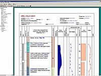
Boring, Borehole and Well Logs
The WinLoG extension module of GaeaSynergy can be used to quickly and easily create, edit and print boring logs, borehole logs and well logs for a variety of industries.
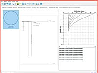
PyPile is a free lateral pile analysis software program based on p-y curves. Pile deflection, bending moment and shear force will be analyzed with different load cases.
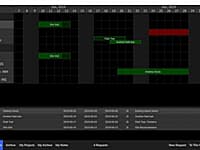
Resource and Project Scheduling
ScheduleBoard is a resource and project scheduling software program. It is designed to let multiple users in a company request and assign resources for different projects.
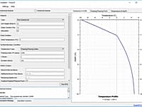
Ground Frost Penetration Analysis
Frost1D is a one dimensional ground frost penetration analysis program.
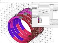
Segmental Tunnel Lining Analysis
BSTunnelLining can be used to analyze multi-ring segmental tunnel lining under arbitrary distributed and concentrated loadings.
Submit a review about SoilStats software with your social media profile
No comments yet. Be the first to comment.