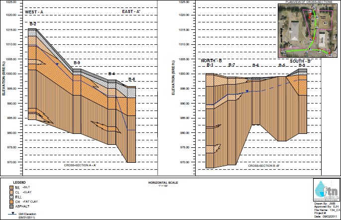
Strater is a powerful and innovative well log, borehole and cross section plotting software package for geoscientists. With its modern and easy-to-use user interface, Strater is so straightforward even a beginner can create high-quality professional representations of subsurface data in no time.
Strater displays your raw data as borehole and well logs, maps and cross sections. Strater offers unsurpassed flexibility in design and layout. Strater’s intuitive point-and-click user interface makes it easy to quickly visualize your subsurface data and create professional reports.
Strater is compatible with all popular data formats, and can graphically display the data in fourteen fully customizable log types. Maps and cross sections are just a click away. All aspects of your design are easily changeable by simply clicking on it and updating its properties. Batch print or export all your hole data, and save your project file to a template to make log creation efficient and consistent for future projects.
Strater is for anyone wishing to display borehole data as boring logs, perform drill hole analysis, create cross sections, or visualize wireline, lithology or geophysical data with depth.
* Strater download link provides demo version of the software.
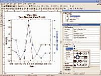
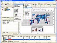
Grapher is the only graphing program you will ever need. Create powerful stunning graphs quickly and efficiently. Ideal for scientists, engineers, and business professionals.
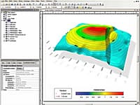
Golden Softwares Surfer software is a full-function 3D visualization, contouring and surface modeling package that runs under Microsoft Windows.
Digitizing & Coordinate Conversion
Didger is a highly accurate digitizing program that will be an invaluable addition to your software library.
Thematic Maps & Spatial Analysis
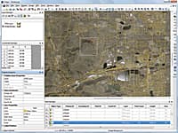
MapViewer is an affordable mapping and spatial analysis tool that allows you to easily produce publication-quality thematic maps
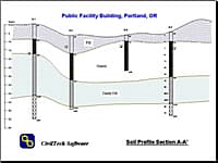
Boring Log and Test Pit Graphical Reports
SuperLog generates boring log and test pit graphical reports for field drilling and geotechnical investigations. It is a user-friendly, easy to learn, powerful, and flexible program, which will increase your productivity significantly.
Submit a review about Strater software with your social media profile
No comments yet. Be the first to comment.